FIG President Stig Enemark attends the GSDI-12 World
Conference
Singapore, 15-19 October 2010
|
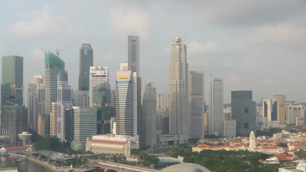
Singapore skyline with the old city centre and city hall tower
(white) to the right. |
President Stig Enemark attended the GSDI-12 World Conference
entitled “Realising Spatially Enabled Societies”, Singapore, 19-22
October 2010.
GSDI is the Global Spatial Data Infrastructure Association that is an
inclusive organization of organizations, agencies, firms, and individuals
from around the world. The purpose of the organization is to promote
international cooperation and collaboration in support of local, national
and international spatial data infrastructure developments that will
allow nations to better address social, economic, and environmental issues
of pressing importance, see: http://www.gsdi.org/
FIG and GSDI signed a Memorandum of Understanding at the FIG Congress in
Sydney outlining a framework for co-operation between the two organizations
and identifying a range of activities for mutual benefits: The FIG
contributions to the Conference are in line with this agreement. The MoU is
available at:
http://www.fig.net/admin/ga/2010/minutes/app_15_mou_gsdi_final.pdf
The GSDI-12 World Conference was attended by about 600 participants from
65 countries throughout the world. It included a range of workshops, 5
plenary sessions and 35 technical sessions with about 150 presentations.
Proceedings are available at: http://www.gsdi.org/gsdi12/
The plenary sessions were all focused on the conference theme. An
inspiring keynote presentation “A Personal Vision for Spatially Enabling
Society” was given by Mr. Jack Dangermond, Founding President of
ESRI who was also awarded the GSDI Global Citizen Award. This was followed
by a comprehensive paper on “Global Spatial Data Infrastructure (GSDI)
Visions for Spatial Enablement” presented by GSDI President Abbas
Rajabifard.
The second plenary session included a presentation of FIG President
Stig Enemark on “Spatially Enabled Land Administration: Addressing
Societal Needs and Responding to the Global Agenda”; and a very
comprehensive presentation on “An Exemplar Regional Vision” from
Latin America given Mr. Santiago Borrero, Director of Pan American
Institute of Geography and History (PAIGH).
The conference included three Joint FIG/GSDI sessions. Paul Kelly,
Chair of FIG WG 3.2 organised a very successful session on SDI and Cities
based on the new FIG publication no no 48 on Rapid Urbanization and Mega
Cities: The Need for Spatial Information Management. The session included
three short presentations of Paul Kelly, Hartmut Müller, and Yerach Doytsher, followed by a panel discussion with Abbas Rajabifard,
GSDI President, Stig Enemark, FIG President, and Victor Khoo,
Singapore Land Authority. Proceedings are available at the conference
website under session 4.1.
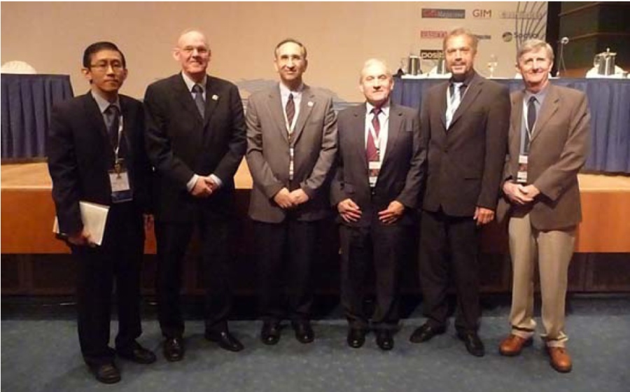
|
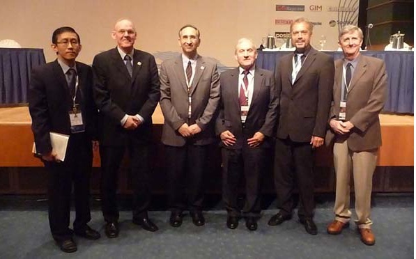
Presenters and panel members of Session 4.1 on SDI for Cities. From
the left: Victor Khoo, Singapore Land Authority; Stig
Enemark, President, FIG, Abbas Rajabifard, President,
GSDI; Yerach Doytsher, Incoming Chair of FIG Comm. 3; Hartmut Müller, German delegate to FIG Comm. 3; and
Paul
Kelly, Australian delegate to Comm. 3 and Chair of WG 3.2. |
Furthermore President Enemark chaired a joint FIG/GSDI session on GSDI in
land administration (session 5.2) and presented a paper on “Land
Administration Challenges in Bhutan: The need for a National cadastral
resurvey”. Finally Yerach Doytsher chaired a joint FIG/GSDI session on SDI
in Land Administration (session 6.2)
|
 |
 |
|
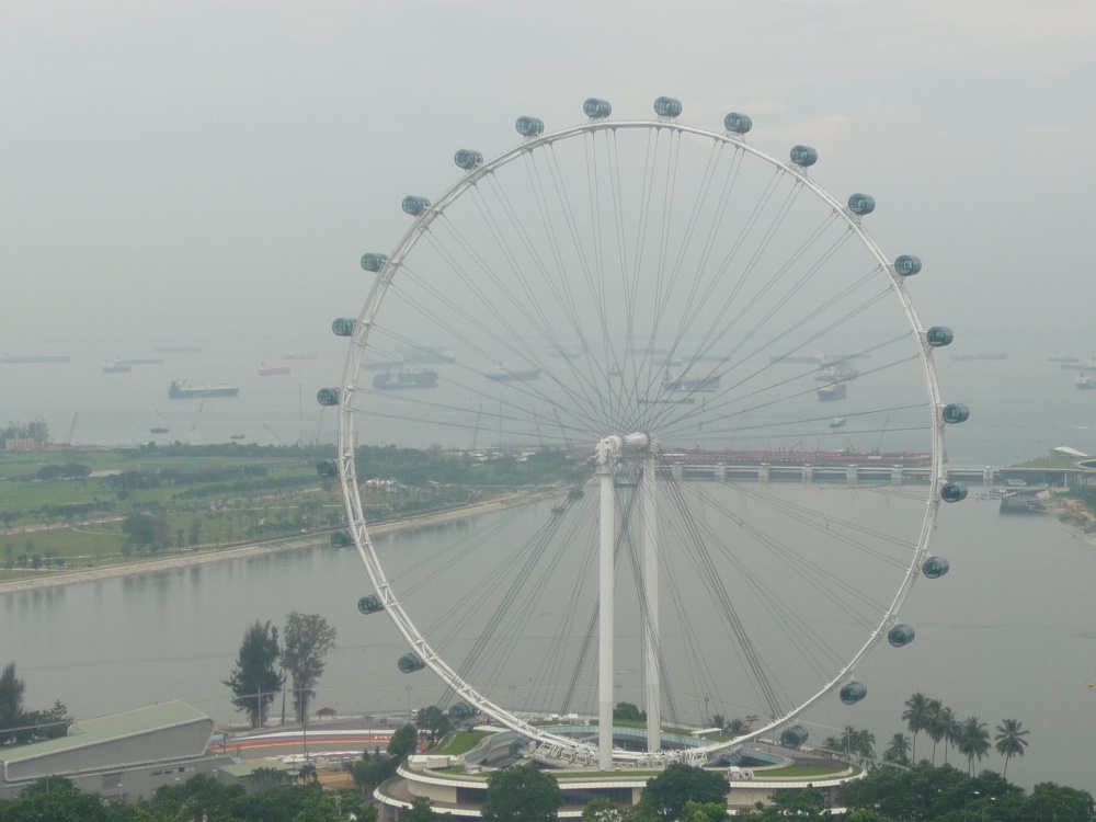
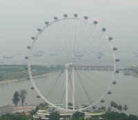
The GSDI-12 world Conference was very well
organized by the Singapore hosts and provided some excellent social
activities including a welcome reception in the Singapore Flyer and
a conference dinner at Asian Civilisation Museum with lion dance
performance. |
The GSDI-12 World Conference provided an excellent opportunity of
networking and strengthening the cooperation between GSDI and FIG. This
should lead to joint efforts and strategic cooperation towards realising
spatial enabled society.
The conference also included the 16th PCGIAP Meeting (Permanent Committee
on GIS Infrastructure for Asia & the Pacific) with delegates from the
Mapping and Land Administration Agencies in the Region. The meeting included
presentations of progress reports from the three PCGIAP working groups, and
also presentations from the Liaison organisations such as FIG, ICA, GSDI,
and GSDI.
Furthermore President Enemark attended a meeting of the Joint Boards of
Geospatial Information Societies (JB-GIS) and a meeting on the United
Nations Initiative on Global Geospatial Information Management (GGIM)
leading to adoption of a mission statement for a new UN organization on
Geospatial Information Management, see the GGIM website:
http://unstats.un.org/unsd/ggim/mandate.html
The closing session including a sum-up presentation of Prof. Ian
Williamson, Australia, with a very catchy statement:
|
…Spatially enabled society is about managing
information spatially – not managing spatial information… |
Further readings:
|
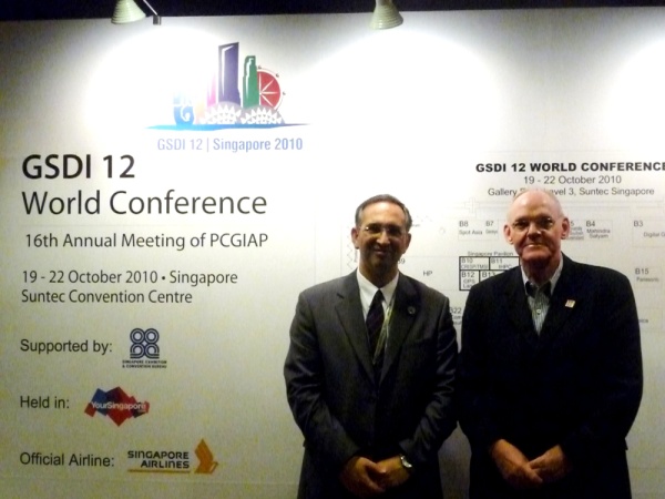
Abbas Rajabifard, President of GSDI and Stig Enemark,
President of FIG – in front of the conference poster |
19 November 2010
|