Incoming FIG Vice President Chryssy Potsiou attended the 2nd
International Training Course for Surveyors
Rome, Italy, 20 September – 8 October 2010
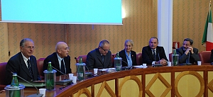
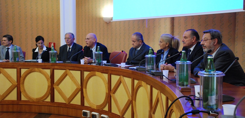
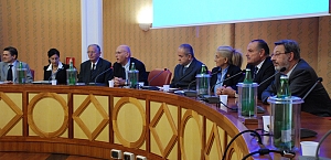
Opening panel discussion. |
|
The Consiglio Nazionale Geometri and Geometri Laureati in cooperation
with Geoweb S.p.A., Company providing web services for surveyors, has
promoted and organized the Second International Training Course of
Territorial Survey; the course took place in Rome from the 20th of September
to the 8th of October 2010. The event was supported by the Faculty of
Architecture University of Florence, Agenzia del Territorio, Sogei S.p.A.,
FIG, CLGE, EGoS, AGIT and it was sponsored by the Aerial Surveying General
Company – BLOM ASA of Parma, the Topoprogram & Service, and Leica Geosystems
S.p.A.
The course was inaugurated at the conference hall of the Cassa Italiana
di Previdenza e Assistenza Geometri by the President of CNGGL Mr. Fausto
Savoldi and by the President of Geoweb S.p.A. Mr. Piero Panunzi.
They highlighted the continuous commitment of the Italian surveyors towards
continuing education and the importance of international cooperation for the
professional development of surveyors.
The opening ceremony included speeches given by Prof. Chryssy Potsiou,
FIG incoming Vice President and current Chair of FIG Commission 3, by Eng.
Franco Maggio, Director of the Central Cadastre and Cartography
Management of the Agenzia del Territorio, by Dr. Sandro Trevisanato,
President of Sogei S.p.A., and by Mr. Randolph Camilleri, President
of EGoS.
Particularly noteworthy was the warm message of congratulations sent to
President Fausto Savoldi by FIG President Stig Enemark, with which
FIG underlined the appreciation to the Italian initiative and to its future
development.
The closing speech at the opening ceremony was made by Mr. Giuseppe
Simeone, Managing Director of Geoweb S.p.A. also pointed the “pride of
Geoweb” in the continuous effort towards the improvement and facilitation of
work of professionals, thanks to the strategic harmony established with
CNGGL, Sogei S.p.A. and Agenzia del Territorio”; he also anticipated the
development of an e-learning version of the Second International Training
Course, intended to allow diffusion to a wider audience.
To conclude the ceremony was the held of two speeches on “The birth of
Geodetic Cartography in Italy”, by Prof. Andrea Cantile, and on “The
Need for Spatial Information in Urban Management”, by Prof. Potsiou. The
course was entirely held in English, it had a regular start in the afternoon
and saw the participation of Italian, Greek, Israeli and Turkish professors
and lecturers and 23 students from Italy, Malta, Greece, Israel, Morocco,
Montenegro and Turkey.
The Second International Training Course of Territorial Survey has based
on three general aims.
- To promote mutual understanding and exchange information and
experience between participants from different countries, cultures and
religious belief.
- To provide a general introduction to new methods of surveying
regarding the use of spatial information.
- To create effective opportunities for the achievement of specific
experiences of field surveying with the use of modern tools, programs
and specific geographic datasets.
During the three weeks of the course, the educational work has been
performed at Geoweb’s site and in the E.U.R. area, following a tight program
of theoretical and practical activities. It was characterized by a
continuous exchange of information between teachers and students and had as
key point the greatest strength of practical experience, the prevalence of
collection and data processing, without neglecting the essential theoretical
concepts.
The first week focused on a review of methods for measurement of
distances, angles and slopes by an extensive series of lectures and
practical exercises of Global Positioning System, and data processing. An
interesting technical visit at the head office of the Aerial Surveying
General Company - BLOM ASA of Parma then opened the proceedings of the
second week, with lectures and practical experience on Remote Sensing
Systems, Earth observation systems, photogrammetry and Laser Scanning. The
third week of the course focused on geographic open source information
tools, with a dedicated practical experience on the implementation of a
geographic information system and on the main examples of spatial analysis. The educational program was enriched by lectures on recent cadastral changes
and by a special greeting by the Director of the Agenzia del Territorio Dr.
Gabriella Alemanno; speeches were also given by Mr. Bruno Razza
on “The role of the Land Surveyor within the Cadasral System”, by
Sogei with their support on the new procedures, by Nikolaos Zacharias
on “The Cadastral Programme in Greece”, by Dr. Joseph Forrai,
Deputy Director General for Cadastre Survey of Israel, on “Coordinate
Based Cadastre (CBC) in Israel, Experience and Perspectives”, and by
Leica Geosystems on a series of communications on new technologies for the
detection and treatment of spatial information. The Roman educational
experience was furthermore enhanced during Saturday’s breaks with guided
tours to the major cultural monuments of Rome, to enable the participants to
know the magnificence of Rome. The course ended with awarding of
certificates of participation. All attendees expressed their gratitude. Prof. Chryssy Potsiou
16 December 2010 |