FIG President Stig Enemark attends the ISPRS Centenary
Celebrations
Vienna, Austria, 4 July 2010
|

Prof. Orhan Altan, President of ISPRS and Prof.
Stig
Enemark, President of FIG at the ISPRS Centenary Gala
Dinner at the Vienna City Hall. |
The International Society for Photogrammetry ISP (now International
Society for Photogrammetry and Remote Sensing, ISPRS) was founded 4 July
1910 by Prof. Eduard Dolezal, at the Technical University of Vienna.
It was therefore appropriate to celebrate the 100 year anniversary of ISPRS
at the place of birth.
The celebrations included at Centenary General Assembly with official
opening and congratulation speeches, recognition of former Presidents of
ISPRS, election of ISPRS Fellows, and presentation of the new ISPRS
Strategic Plan. Following the General Assembly a plaque was unveiled in the
university courtyard to commemorate the founding of ISPRS. The afternoon
lecture Series included three presentations on the past, present and future
of ISPRS. Professor Gottfried Konecny (Germany) gave a presentation
on the History of ISPRS, Director Lawrie Jordan (ESRI, USA) presented
GeoImagery – A new paradigm, and Professor Norbert Pfeifer (Austria)
talked about Future Developments in ISPRS´s areas of interest. The
celebration concluded with a gala dinner at the Vienna City Hall.
The celebration event further included a two day symposium of Commission
VII (Thematic Processing, Modeling and Analysis of Remotely Sensed Data) 5-6
July with a range of presentations and poster sessions.
|

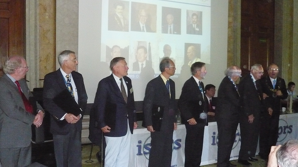
Former ISPRS Presidents being recognized at the Centenary General
Assembly. |

President
Orhan Altan unveiling a plaque at the university
courtyard |
FIG is working closely with ISPRS, especially within FIG Commission 6 and
also within the Joint Board of Geospatial Information Societies (JB-GIS) see
http://www.fig.net/jbgis/. As part
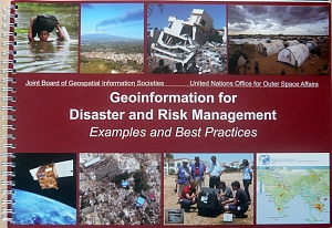
of the celebrations JB GIS launched a new publication “Geoinformation for
Disaster Risk Management” at a press conference 2 July at the UN Office
for Outer Space Affairs (UN-OOSA). The aim of the booklet is to explain to
governments, decision makers and disaster professionals the potential uses
of geoinformation technologies for reducing disaster risks and losses, based
on experience from best practice and knowledge from experts in these fields.
The booklet also includes a short presentation of the societies (FIG, ISPRS,
ICA, IAG, GSDI, and IMTA) and their approach in this area. The FIG
contribution is available at:
http://www.fig.net/council/enemark_papers/2010/jbgis_fig_final.pdf.
 |
 |
|
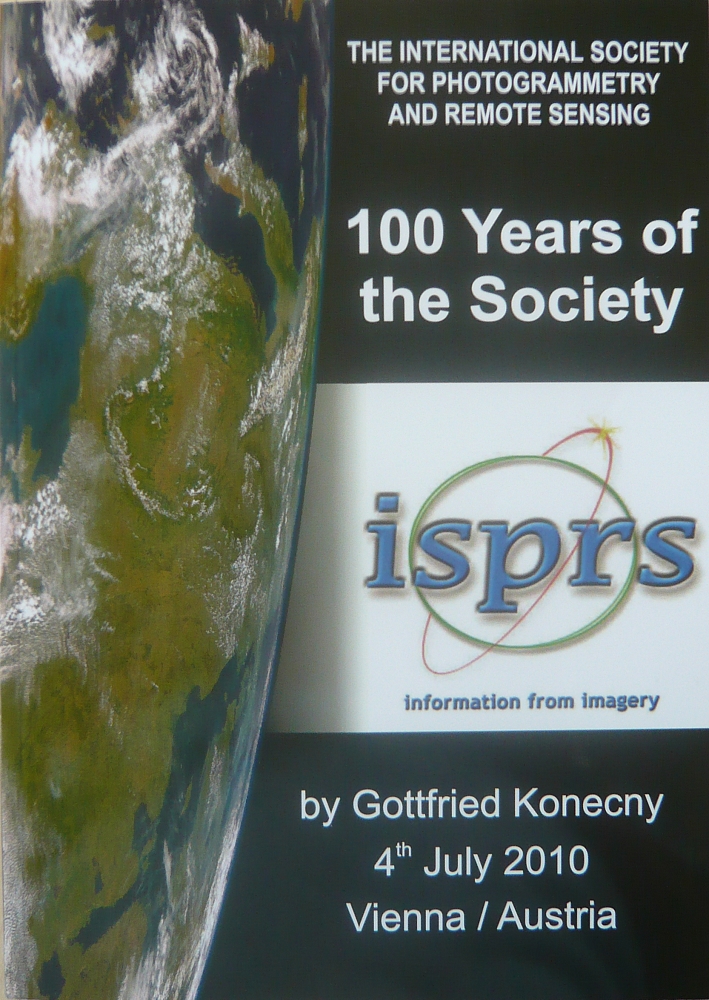
Two key publications were launched during the
ISPRS Centenary Celebrations: A booklet presenting an colorful
overview of the 100 years of the ISPRS Society and a booklet on
GeoInformation for Disaster and Risk management produced by the
Joint Board of Geospatial Information Societies (JB GIS). |
12 July 2010
|