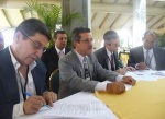
|
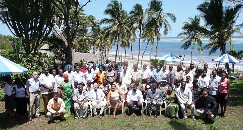
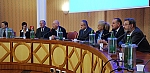
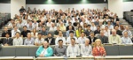
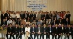
Participants of the Africa Task Force workshop in Mombasa. |
The FIG Africa Task Force organised its first two-day
workshop on Peri-Urban Settlements: Tools & Techniques
for Surveyors to ensure Environmental and Social Resilience
in Mombasa, Kenya, 11-12 November 2010. Each year the Task
force will invite an African member association to co-host a
workshop. The first workshop was held in Mombasa and it was
hosted in co-operation with the Institution of Surveyors
Kenya (ISK). Read more ... |
-
|
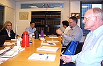
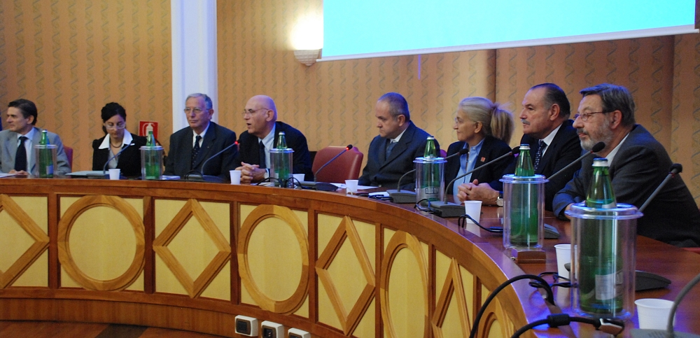
FIG Council meeting in Copenhagen in November 2010. |
FIG Council approved the Final Progress
Report of the FIG Council Work Plan 2007-2010 at its meeting
in Copenhagen in conjunction to the Handover ceremony. The
final progress report
will be brought to the General Assembly for its approval
in Marrakech in May 2011.
At this last meeting of the FIG
Council 2007-2010 the Council approved Survey Department
from Sri Lanka as an affiliate member, the East Kazakhstan
State Technical University named after D. Serikbayev as an
academic member and Danos S.A.
from Greece as a new corporate member. |
-
|

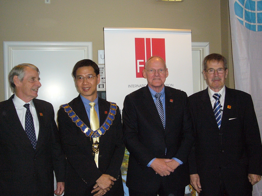
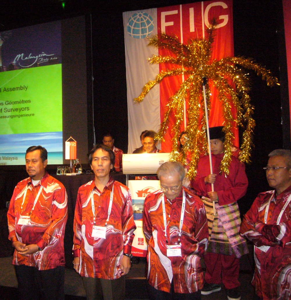
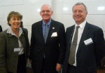
Presidents Stig Enemark and CheeHai Teo at the
Handover Ceremony assisted by Robert W. Foster and
Juha Talvitie.
President Stig Enemark making the keynote address. |
The formal Handover Ceremony between the current and
incoming FIG Councils and Commission chairs took place in
Copenhagen 26 November 2010. At the Handover Ceremony
President Stig Enemark gave the President's Chain of
Office to the incoming President CheeHai Teo from
Malaysia. President Teo together with his Council, new
Commission chairs and other officers will now take over the
responsibility of FIG.
The Handover Ceremony was attended by about hundred
representatives from all over the world to recognise the
achievements of President Enemark and his team. The busy
week included also number of meetings of the FIG Council,
new Commission officers (ACCO) and with participating
delegations focussing especially on the future FIG
conferences.
Read more... |
-
|
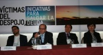
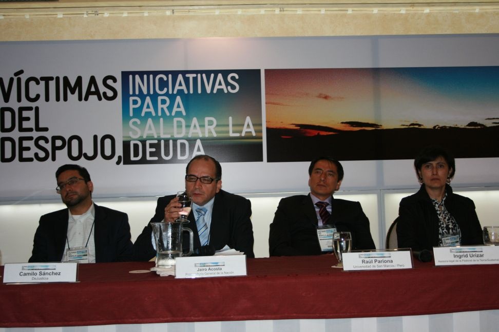
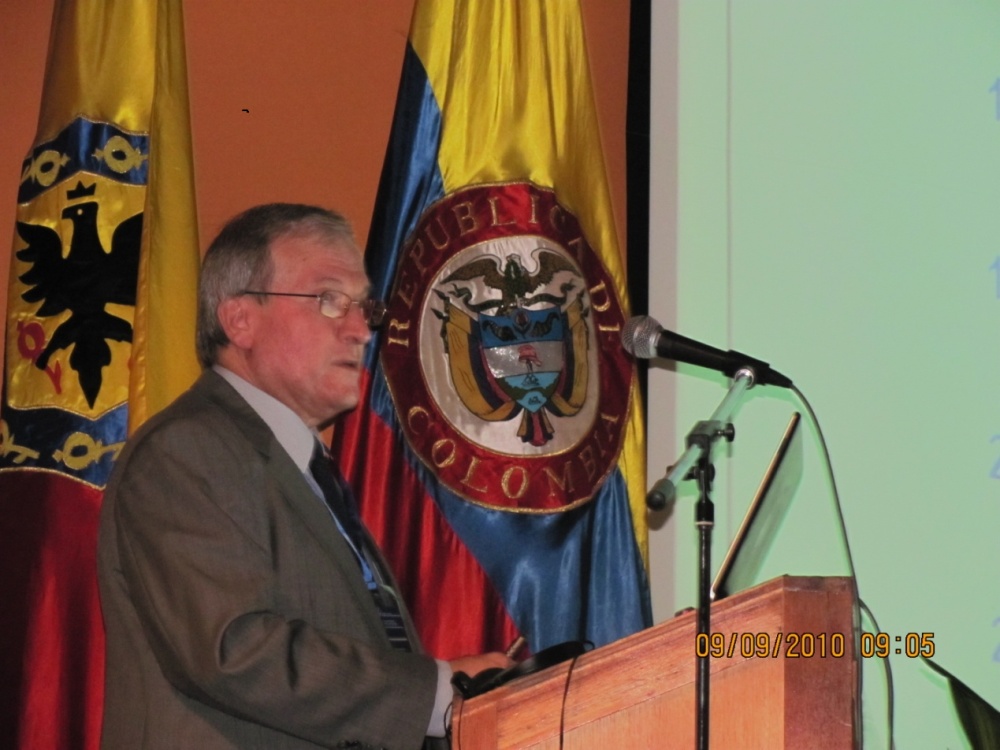
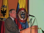
The podium discussion at the Seminar |
The seminar was focused on analyzing the
governmental challenge of land restitution to victims of
abandonment and dispossession under circumstances that will
guarantee that they will be granted their rights to justice
and truth and they can enrol in the economic life of the
country under conditions of dignity and security. More than
200 attended the Seminar, and The Vice President of Columbia
also gave a presentation.
Read more ... |
-
|
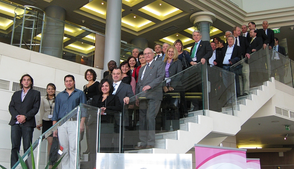
Participants in a group photo. |
The Joint FIG Commission 3 and 7 Workshop and 2010
Annual Meeting of Commission 3 took place in Sofia, on the
15-17 of November. The Workshop was organized by FIG
Commissions 3 and 7 and the Chamber of Graduated Surveyors
of Bulgaria. The meeting was the 4th Workshop of FIG
Commission 3 in the four-year term of office 2007-2010.
Read more ...
|
 |
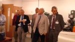
The Consiglio Nazionale Geometri and Geometri Laureati in
cooperation with Geoweb S.p.A., have promoted and organized
the Second International Training Course of Territorial
Survey. The course took place in Rome from the 20th of
September to the 8th of October 2010. From FIG the incoming
Vice President Chryssy Potsiou attended and gave an
opening speech.
Read more ... |
-
|
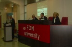
Opening of the conference Aleknsandar Nikolovski,
Rector of FON University; Mauro Salvemini, President
of EUROGI; Bashkim Idrizi, President of Geo-SEE;
Prof. Chryssy Potsiou, Chair of FIG Commission 3. |
The 2010 International
Conference on Spatial Data Infrastructures was successfully
held at FON University in Skopje, FY Republic of Macedonia,
from 15th to 17th September, 2010. The conference was
organized by Geo-SEE (South-East Europe Research Association
on Geo Sciences) and was supported by six co-organisers
(FIG, EUROGI, Chamber of Authorized Surveyors of Macedonia,
FON University, ITC, and Geography Department of SUT).
A keynote speech was held on behalf of FIG by Prof.
Chryssy Potsiou, current chair of FIG Commission 3, with
the title “Spatial information management and the current
rapid processes of urbanization”. Commission 3 was very
well represented at the conference
Read more ... |
-
Sydney Declaration - Final version of the declaration adopted as
outcome of the XXIV FIG Congress held in Sydney, Australia, 11-16
April 2010
-
-
|
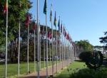
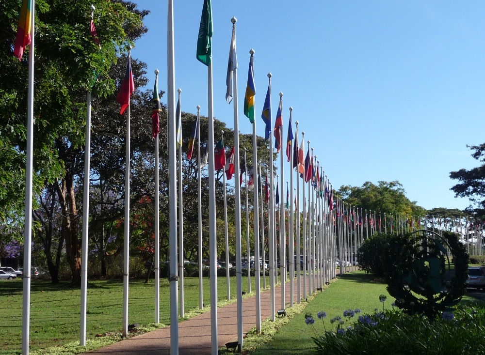
The flag alley entrance to the UN-HABITAT Headquarters at
Gigiri, Nairobi |
FIG President Stig Enemark attended
the Meeting of the Global Land Tool Network (GLTN)
International Advisory Board (IAB) held 29 October 2010 at
the UN-HABITAT Headquarters in Nairobi, and followed by
discussions 30 October on future co-operation and
partnership between GLTN and FIG. GLTN has agreed upon 18
key land tools and argues that the existing lack of these
tools, as well as land governance issues, are the main cause
of failed implementation of failed implementation at scale
of land policies worldwide.
Read more... |
-
|
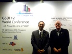
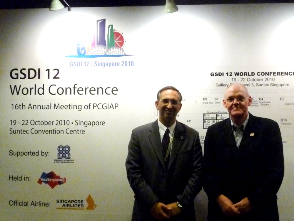
Abbas Rajabifard, President of GSDI and Stig
Enemark, President of FIG |
FIG and GSDI (Global Spatial Data
Infrastructure Association) signed a Memorandum of
Understanding at the FIG Congress in Sydney outlining a
framework for co-operation between the two organizations and
identifying a range of activities for mutual benefits. The
GSDI-12 World Conference was attended by about 600
participants from 65 countries throughout the world. It
included a range of workshops, 5 plenary sessions and 35
technical sessions with about 150 presentations.
Read more... |
|
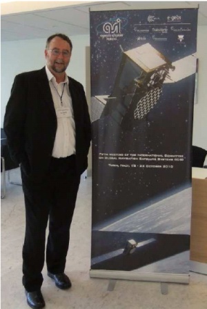
FIG Vice President Matt Higgins at the IGC-5 meeting |
The ICG has been formed as a result of
recommendations of the UN Committee on the Peaceful Use of
Outer Space (COPUOS), as ratified by the General Assembly of
the UN. The United Nations Office for Outer Space Affairs
(UN OOSA) acts as the secretariat for the ICG. IFIG has an
MoU with UN OOSA and is an Associate Member of the ICG. At
the end of each meeting, the ICG issues a Joint Statement
outlining the highlights of the work of the ICG and any
major developments. Read about the status of all of the
major GNSS Sub-Systems as well as a summary of the meeting
and its work groups.
Read
more... |
-
|
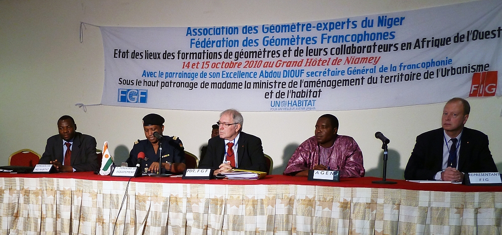
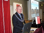
Opening ceremony. President François Mazuyer, FGF in
the middle and FIG repre-sentative Marc Vander-schueren
on the right. |
The seminar “Assessment of Training
Opportunities and Needs for Surveyor and their Technicians
in West Africa” was organised by the Fédération des
Géomètres Francophones (FGF) in Niamey, Niger, 14-15 October
2010. The seminar was co-sponsored by FIG. The successful
event gathered about 80 participants from 13 countries from
Sub-Saharan Africa (Benin, Burkina Faso, Central African
Republic, Chad, Democratic Republic of the Congo, Gabon,
Ivory Coast, Madagascar, Nigeria, Senegal, Togo and of
course from Niger).
Read more... |
-
|
Henning Elmstroem, President of DdL,
Karl-Friedrich Thöne, President of DVW and
Stig Enemark, FIG President. |
INTERGEO 2010 was held in Cologne, Germany 5-7 October.
The world biggest tradeshow in surveying and geomatics
business gathered 17,500 visitors and the INTERGEO
conference 1,500 delegates. The number of exhibitors exceed
500 companies representing 32 nations.
The INTERGEO
conference titled "Knowledge and Action for Planet Earth"
attracted 1,500 participants. The new conference concept in
partnership with other key players has proved to be a great
success. In Cologne the European congress EnviroInfo 2010
was for the first time organised jointly with INTERGEO.
Each day of the three-day INTERGEO conference started with a
plenary session introducing a high profile internationally
recognised speaker.
FIG President Stig Enemark
provided one of the three keynote presentations.
Read more... |
-
Strengthening the Partnership
with the World Bank - FIG President Stig Enemark and Incoming
President CheeHai Teo visited the World Bank 13 September 2010
|
Stig Enemark, President of FIG; Juergen Voegele,
Director of Agriculture and Rural Development Department;
and CheeHai Teo, Incoming President of FIG 2011-2014. |
FIG President Stig Enemark and
Incoming President CheeHai Teo visited the World Bank
13 September 2010 to strengthen the partnership between FIG
and the Land Group of the World Bank. The key purpose of the
visit was to review and renew the current Memorandum of
Understanding that was signed in February 2007.The
presentation by the president and the incoming president
also included a list of suggested issues for further
cooperation over the coming four year term. The visit was
kindly hosted by Keith Bell
and also included a meeting with Juergen
Voegele, Director of Agriculture and Rural Development
Department as well as Jolyne Sanjak, Managing
Director of Department of Compact Implementation, Millennium
Challenge Cooperation (MCC).
Read more... |
-
|
The formation of the new Asociacion Panamericana de
Profesionales en Agrimensura (APPA) (Panamerican Association
of Surveying Professionals) |
FIG President Stig Enemark and
Incoming President CheeHai Teo attended the XI
International Congress, San Jose, Costa Rica, 17 – 19
September 2010. The theme for the congress was "Geomatics:
Current Trends in Geodesy, Topography and Cadastre"
reflecting the current challenges and opportunities
encountered by the profession not only in Costa Rica but
also the region. The formation of APPA - the Asociacion
Panamericana de Profesionales en Agrimensurawas was a
highlight and also represented the culmination of efforts by
FIG over about ten years to mobilise the surveying
profession within Latin America. FIG has pledged to work
with this latest regional structure to develop and advance
the profession in the Americas. A major opportunity in this
regard will be FIG Regional Conference that is likely to
held in Montevideo, Uruguay, by the end of 2012.
Read more... |
-
|
Current Chair
András Osskó together with incoming Chair
Daniel Roberge |
FIG Commission 7 in cooperation with the
Czech Union of Surveyors and Cartographers organized its
Annual Meeting between 5 and 11 September 2010 in Karlovy
Vary, Czech Republic. Commission 7 has had a 20 year
tradition organizing annual meetings each year, separately
from major FIG events, based on the consensus of Commission
7 delegates.
The Annual Meeting 2010 was the last of a
four year period chaired by Mr.
András Osskó, Hungary. There was a record number of
participation in the Annual Meeting 2010 showing the
importance of land administration matters world wide. 57
delegates attended this annual meeting from 32 countries
representing all of the continents.
Read more... |
-
|

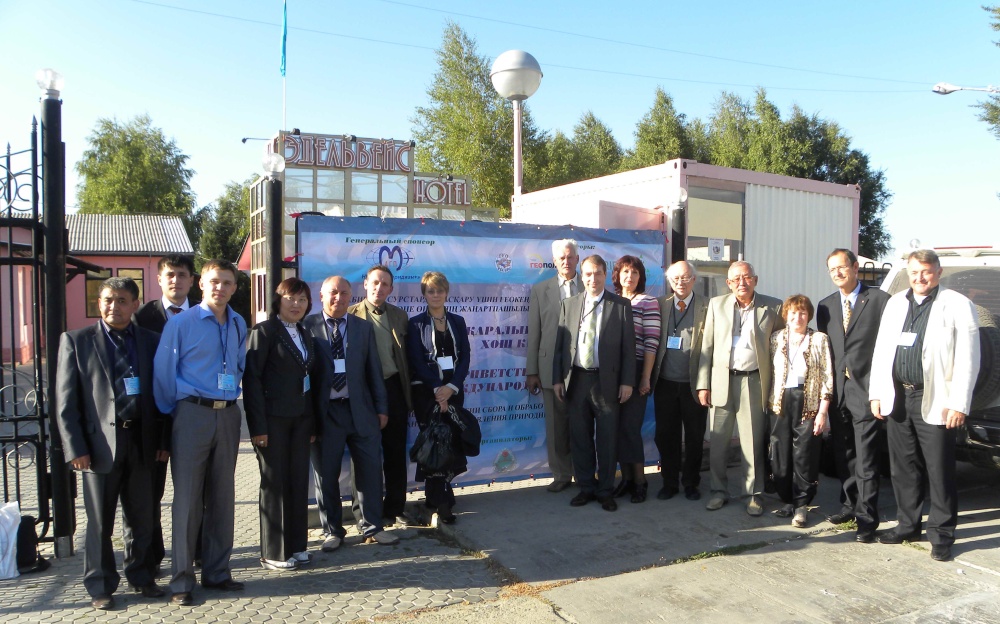
Participants at the Workshop in Kazakhstan |
FIG Commissions 5 (Positioning and
Measurement) and 6 (Engineering Surveys) together with
Agency of the Republic of Kazakhstan for Land Resources
Management, D. Serikbaev East Kazakhstan State Technical
University (EKSTU), Siberian State Academy of Geodesy (SSGA)
and Regional Scientific and Technological Park “Altai”
organised a Workshop on “Innovative Technologies for an
Efficient Geospatial Management of Earth Resources”. The
Conference was attended by about 100 participants and
contained almost 60 presentations.
Read more... |
-
|
 |
Prof. Paul van der Molen has decided
to retire after a longstanding carrier at the Dutch Kadaster
and ITC. Paul is also well know and highly recognized for
his contributions to FIG and the global surveying community
as chair of FIG Commission 7 1998-2002, Director of OICRF,
FIG-UN Liaison Ambassador, Honorary Member, and FIG
Vice-President 2007-2008.
Read more... |
-
FIG Council adopts the
Sydney
Declaration and new members at its meeting in July
|
FIG Council discussing the issues related to the FIG
Congress in Sydney. |
The FIG Council had a Council meeting by
email in July to follow up the outcome of the FIG Congress
in Sydney. At this meeting the final version of the
Sydney
Declaration was endorsed. The Council also approved new
members: the Ethiopian Surveying Professionals Association
(ESPA) as a member association (to be endorsed by the
General Assembly; China Land Surveying and Planning
Institute as affiliate member; two new corporate members:
FARO and Hi-Target Survey Instruments Company Ltd from China
both at silver level; and Zonguldak Karaelmas University as
a new academic member. In addition arrangements for the
handover meeting 25-26 November 2010 were approved. |
-
|
Yerach Doytsher at the XVI Cadastral Week |
The Faculty of Engineering through its
Cadastral and Geodesy Engineering program at the Distrital
University of Bogota, Colombia together with the Colombian
Chapter of SELPER (The Society of Latin American Specialists
in Remote Sensing and Geographical Information Systems)
organized the 16th Cadastral Week. The event hosted almost
250 participants from the Academia and the private and
public sectors in Colombia as well as attendees from other
Latin America countries.
Read more... |
-
|
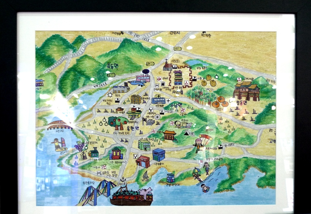
The winning entry: Elementary School National Map Drawing
Competition |
“Smart Korea 2010”, the third successive
annual Korean NSDI Expo that also incorporates a series of
themed symposiums, is the national specialized geospatial
symposium and exhibition. This year, the organizers’ aim was
the promotion of the convergence of geospatial science and
smart technologies that should bring about a better future.
Read more... |
-
|
Commission 2 on technical tour |
The Commission 2 Workshop focused on
surveying education and in particular how educators around
the world respond to changes in the survey profession and
keep their courses relevant and stimulating for students.
Also explored were the opportunities that exist to enhance
surveying teaching and learning by sharing approaches and
investigating the benefits of a variety of new
technologies.
Read more... |
-
|
The Honourable Minister of Development, Negara Brunei
Darussalam making his officiating address at the Seminar |
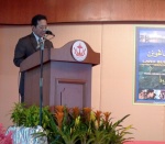
The Survey Department, Ministry of
Development, Negara Brunei Darussalam, an affiliate member
of FIG and the Brunei Institute of Geomatics, a member
association of FIG, invited FIG to the Seminar “Land
Surveying Basis for Development”. Vice President Teo held a
keynote presentation during the official opening session.
The one day seminar highlighted not just the latest
developments in land surveying practices and technologies
but also the significant role and contribution of surveyors
towards development.
Read more... |
-
|
Participants at the IGS workshop and Vertical Rates
Symposium |
The Newcastle University Geodesy Group
hosted approximately 200 participants in the International
GNSS Service (IGS) Workshop 2010 and the COST Action ES0701
Vertical Rates Symposium. The Workshop focused on the
application and status of current IGS operations and
possibilities for future improvements. The final day of the
meeting examined application of GNSS to tide gauge vertical
land movement, glacial isostatic adjustment (GIA),
subsidence and tectonic motion.
Read more... |
-
|
Chairman of PAQS TEOH WeiSin and FIG Vice
President TEO CheeHai during the 14th PAQS Board
Meeting. |
FIG was invited to the 14th PAQS Congress
and the Board Meeting of the Pacific Association of Quantity
Surveyors by the current Chairman of the PAQS, Mr. TEOH
WeiSin (from the Singapore Institute of Surveyors and
Valuers), to address and interact with the PAQS Board over
the proposed collaboration and MoU between FIG and PAQS. The
meeting was held at the Resort World Convention Centre,
Sentosa Island in Singapore on the 25th July 2010.
Read more... |
-
|
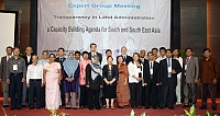
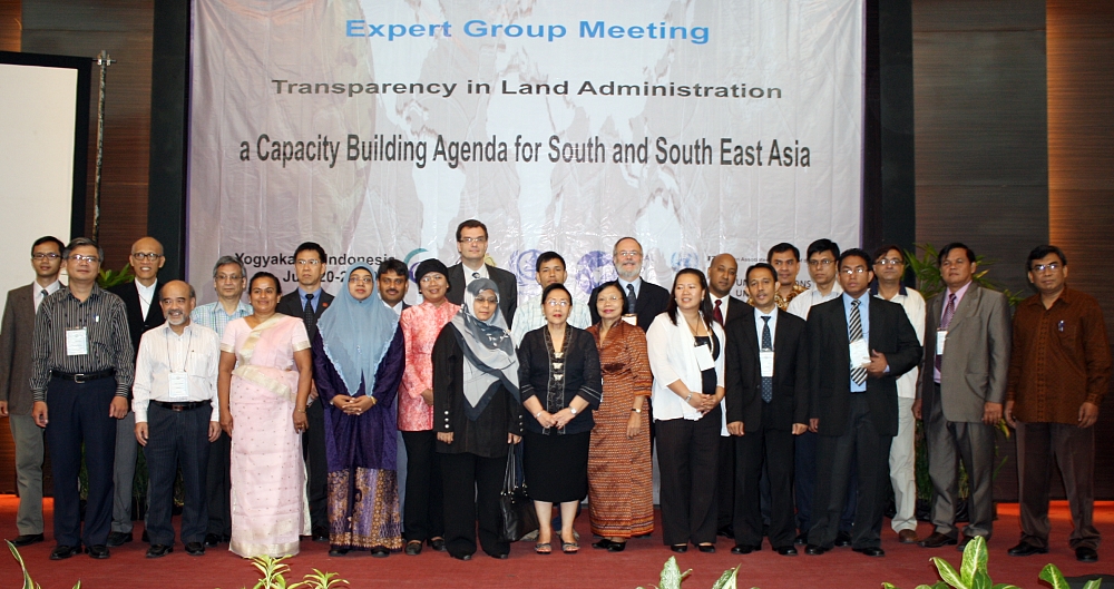
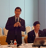
Participants at the Expert Group Meeting in Yogyakarta. |
Transparency in land administration (TLA) is the first
and foremost training program that the Global Land Tool
Network (GLTN) has been implementing in cooperation with the
Training and Capacity Building Branch (TCBB) of UN-HABITAT
and the International Institute for Geo-information Science
and Earth Observation (ITC), University of Twente. This
joint activity for South and South East Asia was hosted by
the Department of Geodetic Engineering, Gahjah Mada
University in Yogyakarta, Indonesia. FIG was represented by
Vice President TEO CheeHai.
Read more... |
-
 |
FIG Commission 5 and 6 Workshop on “Innovative
Technologies for an Efficient Geospatial Management of Earth
Resources” 3-7 September 2010 will be the first FIG
event to be held in Kazakhstan. This workshop is organised
by FIG, Agency of RK for Land Resources Management, D.
Serikbaev East Kazakhstan State Technical University, and
Siberian State Academy of Geodesy (SSGA). Read more about
the workshop in the
invitation brochure and on the workshop web site:
http://www.ektu.kz/
|
-
|
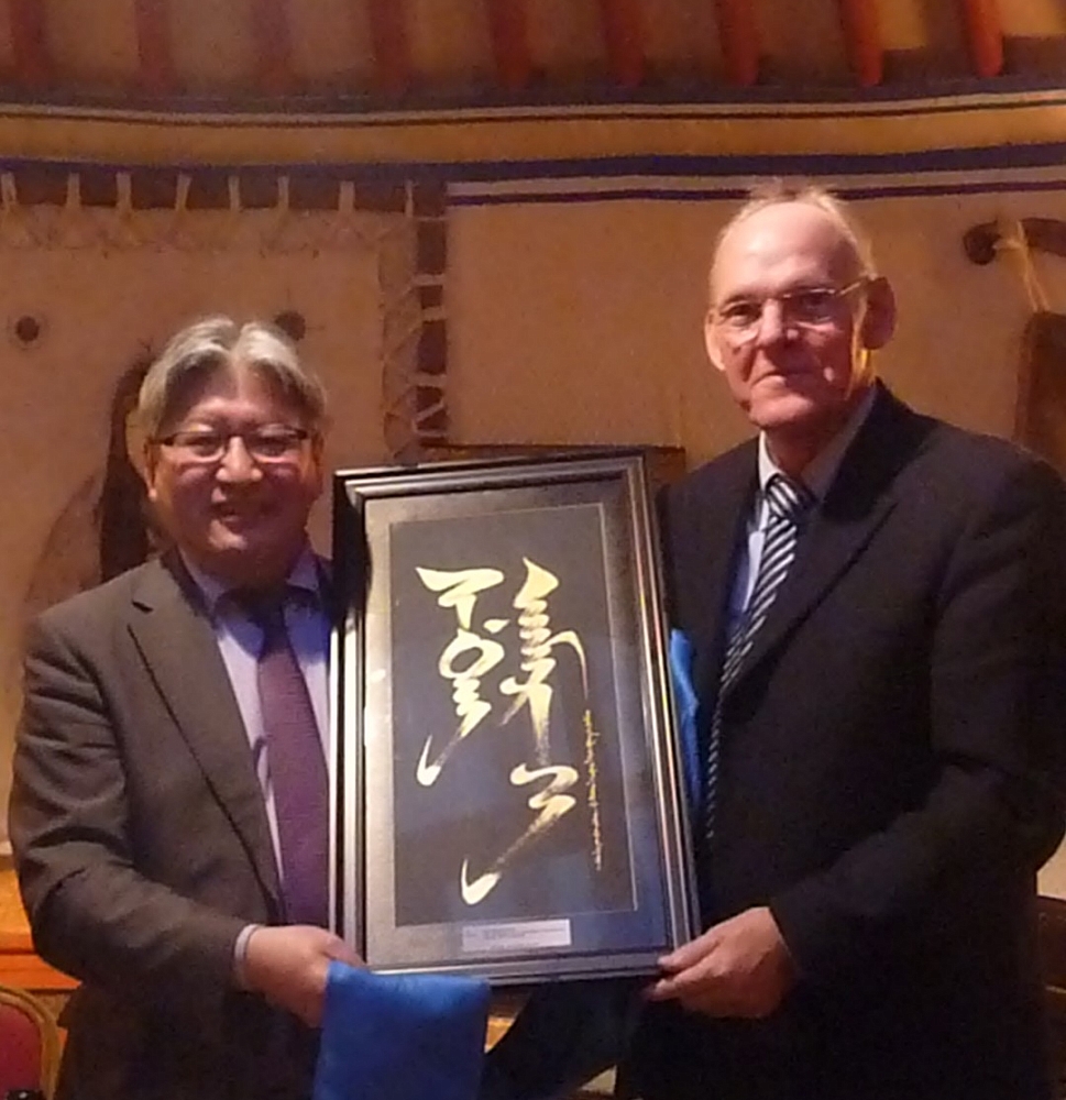
ISPRS President Orhan Altan and FIG President Stig
Enemark. |
The International Society for
Photogrammetry ISP (now International Society for
Photogrammetry and Remote Sensing, ISPRS) celebrated its 100
year anniversary at the Technical University of Vienna.
President Stig Enemark represented FIG. As part of
the celebrations the Joint Board of Geospatial Information
Societies JB GIS launched a new publication “Geoinformation
for Disaster Risk Management” at the UN Office for Outer
Space Affairs (UN-OOSA).
Read more.... |
|
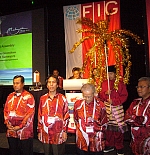
Aboriginal dance at the opening
ceremony. |
|
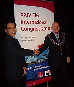
The XXIV FIG Congress Facing the Challenges – Building
the Capacity held in Sydney Australia 11-16 April 2010
turned out to be the biggest FIG congress ever. With more
than 2,200 participants from 100 countries it gathered the
biggest attendance to an FIG event. The total number of
presented papers exceeded 800. Read the
full report and see the
picture
galleries. The congress
proceedings including handouts of PowerPoint
presentations are also available. Read also the
report from
the General Assembly and see the
minutes. |
 |
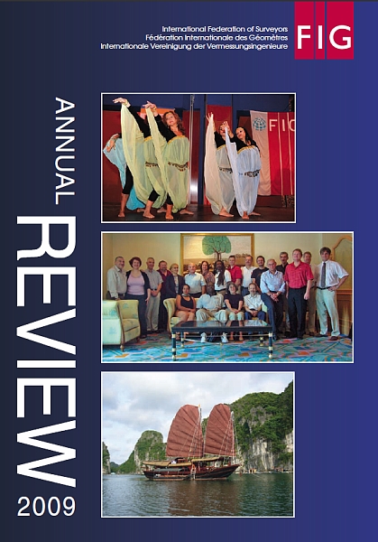
FIG
Annual Review 2009 is available on the web and as a hard
copy. You can download it from here as a
.pdf file
(32 pages, 3.47 MB) from here.
Hard copies have been mailed to all members in May 2010.
Further copies can be ordered from the FIG Office, email:
fig@fig.net. |
-
Eight new FIG publications launched at the FIG Congress in
Sydney
|
Eight new FIG publications were launched and circulated at
the FIG Congress in Sydney in April 2010. FIG Office has
sent a hard copy of all new publications to all FIG members
in May 2010. |
-
-
|
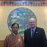
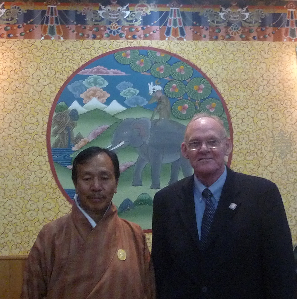
Sangay Khandu and President Stig Enemark. |
Related to a consultancy on the national
Cadastral Resurvey Project in Bhutan, President Stig
Enemark met with Mr. Sangay Khandu, Honorary
secretary of the Bhutan National Land Commission. Bhutan
Discussions were around the ongoing cadastral resurvey
project and the development of a national land policy.
Bhutan is currently establishing the cadastral and
legislative basis towards a modern democratic and market
based society.
Read more ... |
-
 |
FIG Vice President Prof. Dr. Dalal S.
Alnaggar represented the FIG President at the 40th
Congress of Ordre des Géomètres-Experts (OGE) l’Agenda 21
des géomètres-experts in June in Marseille. She attended the
congress for four days including meetings of the Fédération
des Géomètres Francophones (FGF) and the Mediterranean Union
of Surveyors (UMG). The 40th OGE congress with 700
registered participants from 30 countries was a big success.
The congress focussed in three main topics: sustainable
management of companies; sustainable management of territory
and planning; and sustainable management of land.
Read more... |
-
|

Mr.
Batsukh and President Enemark. |
In connection with a consultancy on the
Property Rights Project of the Millennium Challenge
Account-Mongolia, President Enemark met with Mr.
Batsukh, Chief of ALACGaC being affiliate member of
FIG. Discussions were around the ongoing development in
Mongolia towards a market economy based on clearly
identified private land rights. President Enemark also
met with the staff of ALACGaC and highlighted the core
role of efficient and effective cadastre systems in
supporting the privatization process and building a
modern society.
Read more... |
-
|
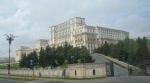
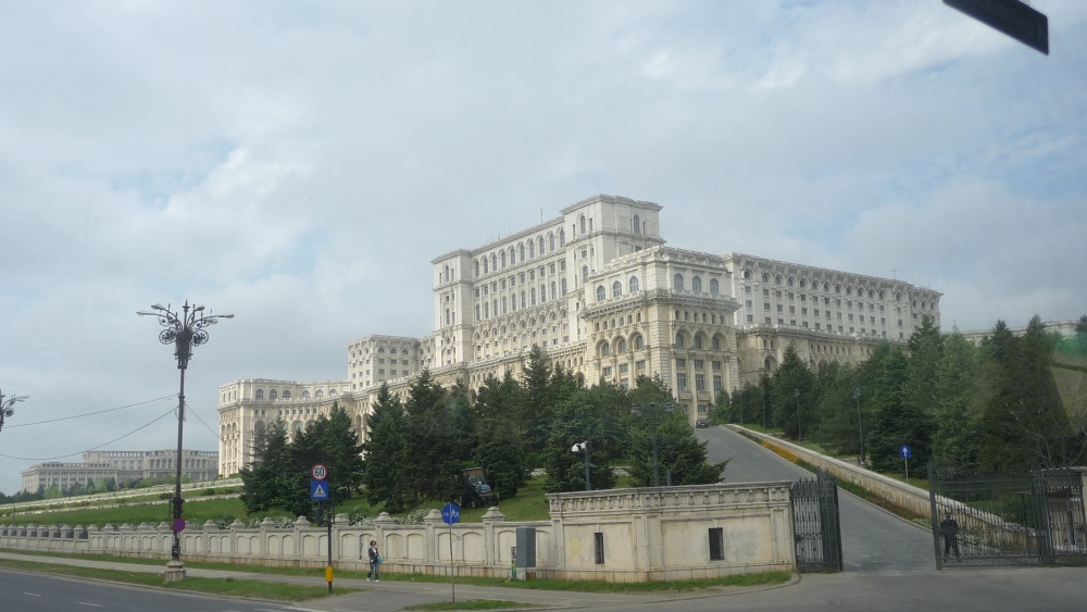
The Parliament Palace - a perfect setting for the
conference. |
The conference entitled “The Cadastral
surveyor – Paving the Way to the Future” was organized
by the European Council of European Geodetic Surveyors
(CLGE) in cooperation with the Romanian Association of
Private Surveyors, the Romanian Geodetic Union, and the
Romanian Agency of Cadastre and Land Registration. The
conference also included the launch of the adopted “Code
of Conduct of the European Surveyors” that is an
important and very useful document also in a global context
as well as the adoption of the Bucharest Declaration stating
some key principles of the role of the cadastral surveyors
in serving society. Read
more... |
|
 |
The meeting was organized by United Nations
Statistics Division (UNSD) of the Department for Economic
and Social Affairs (DESA) in cooperation with the
Cartographic Section of the Department of Field Services
(DFS). Experts from 16 countries and 15 Regional and
International Organizations attended the Meeting. The
purpose to establish a global mechanism for discussion and
coordination of critical issues in the field of geographic
information management.
Read more... |
|
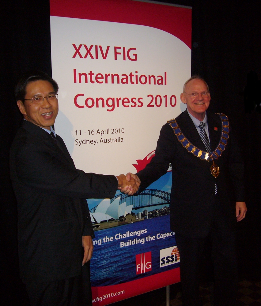
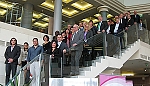
Stig Enemark, FIG President 2007-2010 and Teo
CheeHai, President Elect 2011-2014 after the election.
Malaysian delegation making their presentation for the
General Assembly. |
The FIG General Assembly 2010 was held in
conjunction to the FIG Congress 2010 in Sydney, Australia.
The General Assembly was attended by 67member associations
and the total number of participants exceeded 300. The
biggest interest in the agenda was election of the next FIG
President and new Vice Presidents. Mr. Teo CheeHai
from Malaysia was elected as the next FIG President in a
very close race. He will be the first FIG President from
Asia. The term of the new President is four years starting
1st January 2011.
Dr. Chryssy Potsiou from Greece and Prof. Rudolf
Staiger from Germany were elected as new Vice Presidents
for term of office 1.1.2011-31.12.2014 and Dr. Dalal S.
Alnaggar from Egypt for term of office
1.1.2011-31.12.2012.
FIG Congress 2014 was given to Kuala Lumpur, Malaysia after
a very tight competition.
The General Assembly decided that a Sydney Declaration will
be published as outcome of the Congress. Final version of
the
Sydney
Declaration
is now available.
The FIG Office has sent all members a hard copy of the
minutes together with the FIG Annual Review and a set of
latest publications.
Read full report from the General Assembly:
|
-
|
 |
The World Bank Conference was a follow up to the conference
in March 2009 organised jointly between World Bank and FIG.
This year, however, the contribution from FIG was limited
due to the FIG Congress in Sydney taking place just prior to
the WB annual conference.
The conference aimed to increase awareness of the successful
implementation of innovative approaches which can help to
not only improve land governance, but also contribute to the
well-being of the poorest and the achievement of the MDGs.
The conference was organized around three themes: Large
Scale Agricultural Investments; Land Governance; and
Research and Capacity Building.
Read more. |
-
|

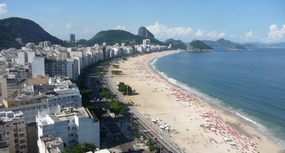
The famous Copacabana Beach with the Sugar Loaf cliff |
The Fifth World Urban Forum (WUF-5) organised by UN-HABITAT
took place in Rio de Janeiro, Brazil, 22-26 March 2010. The
theme of this WUF-5 was “The Right to the City - Bridging
the Urban Divide”. Through a series of round-table
discussions, dialogues, and networking events participants
discussed formal and informal ways of action-oriented
proposals on how to bridge the urban divide.
Read more... |
-
Eight new FIG publications launched at the FIG Congress in
Sydney
|
FIG pub no. 45. Land Governance in Support of The Millennium
Development Goals.
FIG publication no. 51: Hanoi Declaration: Land Acquisition
in Emerging Economies |
Following eight new FIG publications were launched and
circulated at the FIG Congress in Sydney in April 2010. FIG
Office will send a hard copy of each publication to all FIG
members in May together with the General Assembly minutes.
You can read the publications already now as .pdf files. |
 |
FAO Land Tenure Group and FIG Commission 7
WG 7.3 have launched a publication “FLOSS
in Cadastre and Land Registration - Opportunities and Risks”.
Land administration and cadastral systems in the 21st
century depend on the use of information technology (IT)
tools. This publication explores the advantages, and
disadvantages of open source solutions within the context of
cadastre and land registration. It is the result of four
years of cooperation between FAO and FIG WG 7.3. |
|
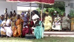
Meeting with the traditional leaders of the Accra. |
The Accra Conference of the Ghana Institution of Surveyors
was organized jointly with CASLE and FIG Commission 8. The
conference attracted about 1,000 surveyors mainly from Ghana
but also many from Nigeria. The theme of the conference was
“The Surveyor: Partner in National Development” that
was very well reflected through the conference. FIG
President
Stig Enemark attended as well as Dr. Diane Dumashie
(Chair of FIG Commission 8) who organised one of the
key features, the almost full day seminar focusing on “Peri-Urban
development: The Role of Traditional Authorities and Land
Professionals”.
Read more... |
-
|
Workshop attendees. |
FIG Vice President Matt Higgins
gave an invited keynote at the opening of the 1st Asia
Oceania Regional Workshop on GNSS. The Workshop was convened
by a new organisation known as Multi-GNSS Asia with strong
support from the Japan Aerospace Exploration Agency (JAXA).
The purpose of the workshop was to bring together interested
parties to discuss the implications of next-generation of
Global Navigation Satellite Systems, and was conducted in
Thailand because Multi-GNSS issues are particularly relevant
in the Asia Oceania region and because it will be the area
of the earth with the largest combined coverage from the new
systems.
Read more... |
-
|
Clarissa Augustinus,
UN-HABITAT; Stig Enemark,
FIG, and
Paul Munro Faure, FAO at the RICS Headquarters,
London. |
FAO and its partners are
preparing Voluntary Guidelines to improve the governance of
tenure and other natural resources. Such voluntary
guidelines are to assist States, civil society and the
private sector in improving the governance of tenure, and
thus contribute to alleviation of hunger and poverty,
empowering the poor and vulnerable, enhancing the
environment, supporting national and local economic
development, and reforming public administration. The
meeting in London for private sector was a key part of the
consultation process in this regard.
Read more... |
 |
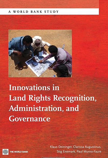
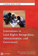
The World Bank has published a book on Innovations
in Land Rights Recognition, Administration, and
Governance in the World Bank Studies series. The
publication is an out come from the
FIG/World Bank
conference that was held in March 2009. The
conference is also covered in the FIG publication no.
45: Land Governance in Support of The Millennium
Development Goals - A New Agenda for Land Professionals.
http://www.fig.net/pub/figpub/pub45/figpub45.htm
Editors of the World Bank publication Innovations in
Land Rights Recognition, Administration, and Governance
are Klaus Deininger (World Bank), Clarissa
Augustinus
(UN-Habitat), Stig Enemark (FIG) and Paul
Munro-Faure (FAO).
The publication is based on an on-going partnership
between the World Bank, FIG, the Global Land Tool
Network and FAO which provides tools that can help to
address land governance in practice and at scale. The WB
hopes that this publication will increase awareness of
and support to the successful implementation of
innovative approaches. The papers were all presented at
the World Bank’s Annual Conference on Land Policy and
Administration in 2009 that was organised jointly by the
WB and FIG.
The book is available now in paperback e.g. from Amazon.
To read more have a look at:
http://www.amazon.com/Innovations-Recognition-Administration-Governance-Studies/dp/0821385801#_
or at the World Bank e-library at :
http://elibrary.worldbank.org/content/book/9780821385807.
ISBN: 9780821385807. 380 pages |
Whole Brunei is now available on 3-D map
|
The entire sultanate of Brunei Darussalam can now be seen in
3-D. The implementation of this project was revealed in December
2010 by the Ministry of Development that through the Brunei
Survey Department has successfully completed one of the National
Development Plan (2007-2012) projects that involves aerial
surveys i.e. a 3-Dimensional Digital Terrain Model (DEM). Using
the most accurate laser scanning technology known as LiDAR, the
project began in 2009. Data measured on the ground is at every
one-metre distance apart (exceeding six billion measurements for
the whole country) with 15 cm accuracy (horizontal and vertical)
in areas including forest areas, where tree heights can also be
estimated by using the information of the top of the canopy and
the ground elevation. This endeavour has made Brunei among the
best mapped countries in the world by providing highly valuable,
and positive impact on its natural resource management, flood
mitigation, climate change, forest conservation programme and
improved urban and rural development.
According to Haji Mohammed Jamil bin Haji Mohammed Ali,
the Surveyor General, the Survey Department has plans to provide
the data through the Web Geoportal. According to him, among the
challenges would be marketing the product to stakeholders and
interested local companies.
|
First Annual National Conference of Ethiopian
Surveying Professionals Association (ESPA) held 18 September
2010
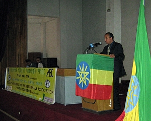 |
The First Annual
National Conference of Ethiopian Surveying Professionals
Association (ESPA) was held at the Ethiopian Mapping
Agency 18 September 2010. The conference attracted
several hundred participants from all over the country.
It was the most historic moment and important event in
the ESPA’s activities and surveyors of Ethiopia as a
whole. Participants represented national government and
non-governmental organizations in surveying disciplines,
representatives of stake holder organizations, and
ESPA’s regional representatives.
The meet was organized by leaders of the
association and active participation and support of members and
sponsors such as the Ethiopian Mapping Agency. The agenda
included the annual report and strategic plan. In addition that
FIG Profile was presented. ESPA is very proud of being accepted
as a member of FIG since the establishment of the association.
The meeting was chaired by the Vice President and the annual
report by the Honorary Secretary because President Dr.
Tilahun Irdino was unable to participate because of his
illness.
The presentations and discussion were instrumental and
informative. The meeting costs were raised from registration
fees, supplemented by income from sponsor organizations. Contact
espa@gmail.com
|
|