Report of the Eighth United Nations Regional Cartographic
Conference for the Americas (UNRCCA)
27 June – 1 July, United Nations Headquarters, New York
|
Vice President
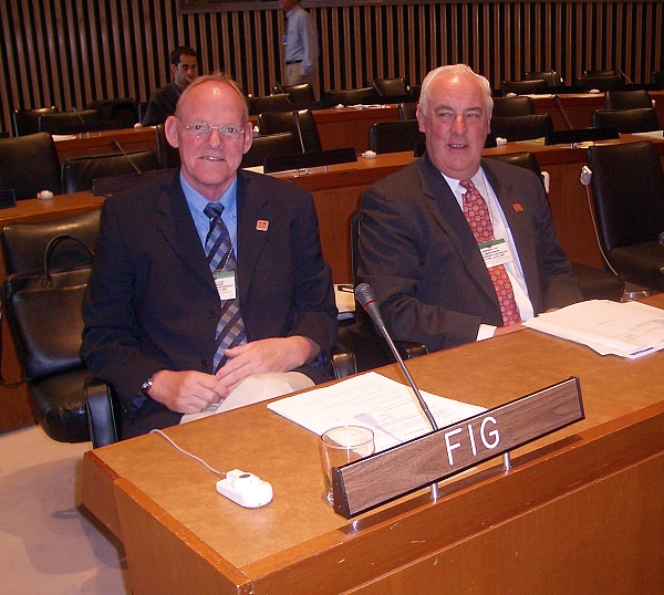
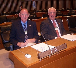
Stig Enemark and Prof. John Parker
representing FIG at the UNRCC-A in New York. |

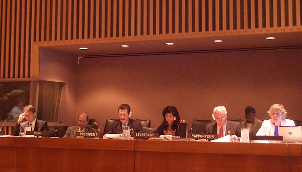
UNRCCA Session Chaired by Mario Reyes from Mexico as the Chair and John
Parker as a rapporteur. |
Vice-President Stig Enemark represented FIG at the Eighth United
Nations Cartographic Conference for the Americas (UNRCCA) held in New York
27 June - 1 July. The conference is convened every four years (since 1976),
the last one being held in January 2001. The conference attracted 140
participants from 33 countries. About 20 country reports were tabled and 40
invited papers were presented. The program and included a number of
interesting paper on SDI developments in the Latin America and Caribbean
Region as well as a number of invited paper papers from other countries and
professional institutions. The program and proceedings of the conference are
available at the UNSD website
http://unstats.un.org/unsd/geoinfo/eighthunrccadocuments.htm.
Stig Enemark presented a FIG position paper on “Supporting
Capacity Development for Sustainable Land Administration Infrastructures”
(Invited Paper 12 in the proceedings). He also presented a joint paper with
John Parker focusing on the outcome of the "Special
Forum on the Development of Land Information Policies in the Americas”
(IP 35). The FIG publication “Aguascalientes Statement”
http://www.fig.net/pub/figpub/pub34/figpub34.htm was tabled and endorsed
as a result of resolution adopted at the UNRCCA held in 2001. Both the
papers and Statement were very well received.
|
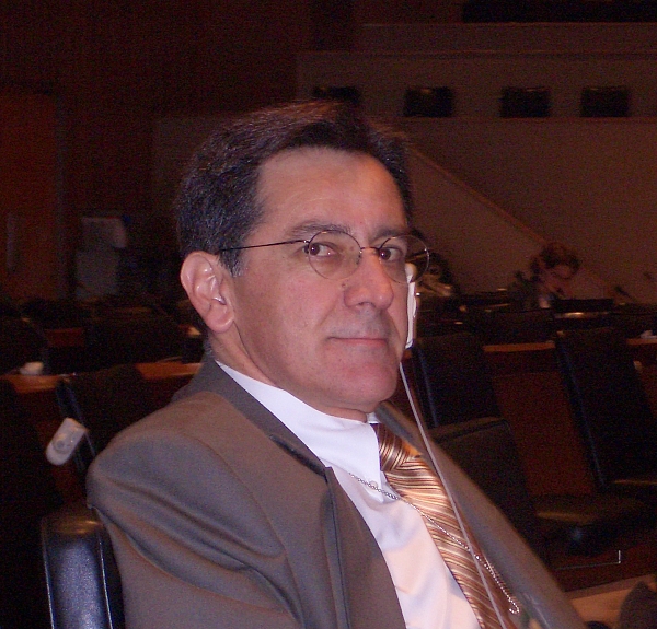
Santiago Borrero, Director of PAIGH. |
As a further result of the Special Forum in Aguascalientes,
Paul
van der Molen, Chair of FIG Com 7, was invited to present a paper on
the Land Administration Systems in Europe (IP 33). Another recommended
presentation was by Santiago Borrero, the Director of the Pan
America Institute for Geography and History (PAIGH) entitled “Regional
and National Spatial Data Infrastructure in the Americas: institutional
and capacity building issues” (IP 3). The approach of the Asia ad
Pacific Region can be found in the paper of Peter Holland
entitled “Making the SDI concept relevant to Asia-Pacific
countries-the PCGIAP experience” (IP 14). Finally a very well
received presentation was from Frederic de Dinechin, The World
Bank, entitled “Spatial data economic issues in the Americas; the
World Bank Approach” (IP 8). |
The focus of these conferences is on the developments of National Spatial
Data Infrastructures within the region. The participants are the regional
national delegates normally representing the national mapping agency.
However, being a UN organization, the participants are also from various
countries in Europe and other regions in the world. Furthermore, a number of
international experts are invited as well as representatives from the
relevant NGO´s such as FIG, ICA, ISPRS, World Bank, FAO, etc. Unfortunately,
the regional representation was not as dominating as hoped for.
The role of FIG in this regard is to promote professional development and
facilitate achievements in the area of Topographic Mapping, Spatial Data
Infrastructures, and Land Administration Systems. The conference provides a
unique platform for discussion and understanding of the regional needs, and
for networking with national agencies and other NGO´s. The objective of such
networking is of course “to develop strategies for development of
appropriate institutional, legal and technical processes to integrate land
administration and topographic mapping programs within the context of a
wider national strategy for spatial data infrastructure” (as stated in the
Aguascalientes Statement).
The outcome of the conferences is summarized in the adopted resolutions.
One of these is aiming to organize a follow-up conference to ensure proper
implementation of the recommendations adopted at the Special forum in
Aguascalientes. This conference will be held in Ottawa, Canada, June 2006.
Background on UNRCCA
The conference is organized and serviced by the United Nations Statistics
Division http://unstats.un.org/unsd/default.htm. The aim is to promote the
development and the use of geographical information systems in developing
countries in this case the Latin American and Caribbean Region. A similar
conference is convened every three year for the Asian and Pacific Region,
the last one being held in July 2003 in Okinawa, Japan.
In addition, the Secretariat of the UN Statistics Division organizes ad
hoc training courses, seminars, and expert group meetings, mostly in
cooperation with host governments and international scientific and
profession al organizations. Subjects include application of modern
technology in surveying and mapping in developing countries, geographical
information systems (GIS) for application in basic mapping and applied
mapping such as mapping for statistics, population census, environmental
protection, tourism, land use, and cadastral registration; legal aspects in
map production; and toponymy.
A Permanent Committee on Spatial Data Infrastructures for the Americas
(PC IDEA) is established to ensure continuity and development through
implementation of the conference resolutions and through working group
activities.
Stig Enemark
12 July 2005
- Stig Enemark, Vice President of FIG:
Supporting Capacity
Building for Sustainable Land Administration Infrastructures.
Presentation at the Eight United Nations Regional Cartographic Conference
for the Americas (UNRCCA), 27 June - 1 July 2005, New York, USA
- John Parker and Stig Enemark, FIG:
Land Administration
and Spatial Data Infrastructure: The Special Forum on Development of Land
Information Policies in the Americas, Aguascalientes, Mexico.
Presentation at the Eight United Nations Regional Cartographic Conference
for the Americas (UNRCCA), 27 June - 1 July 2005, New York, USA
|