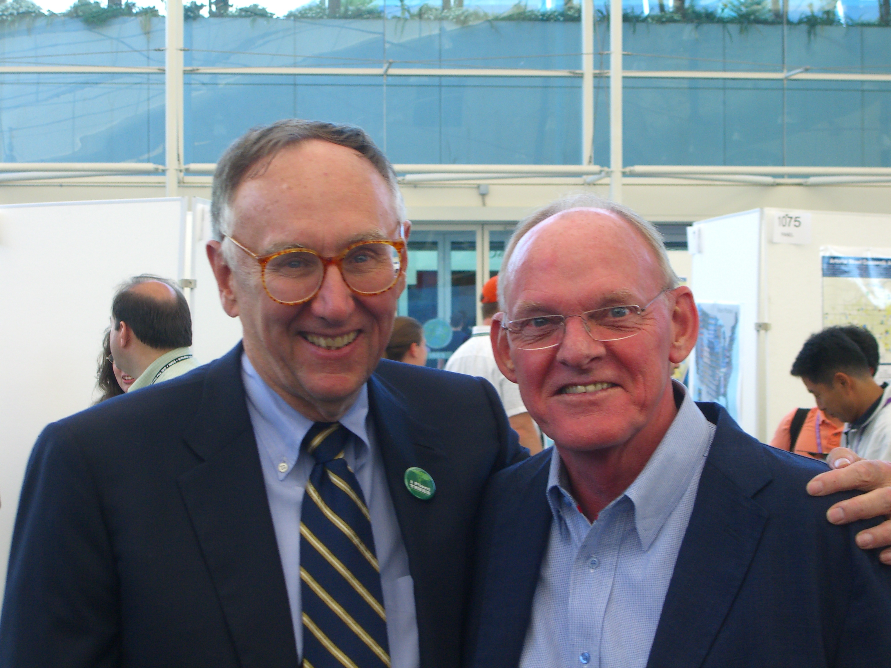
FIG President Stig Enemark attends the Survey & Engineering
GIS Summit, San Diego, USA, June 2007
San Diego, USA, 16-19 June 2007
|
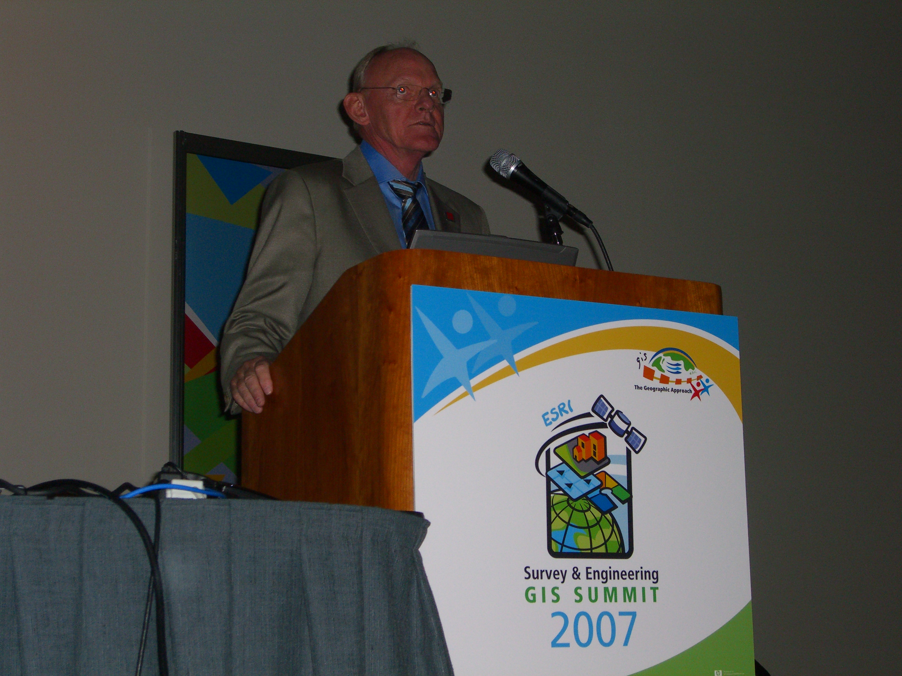
President Stig Enemark giving his keynote
at the Survey&Enginering GIS Summit |
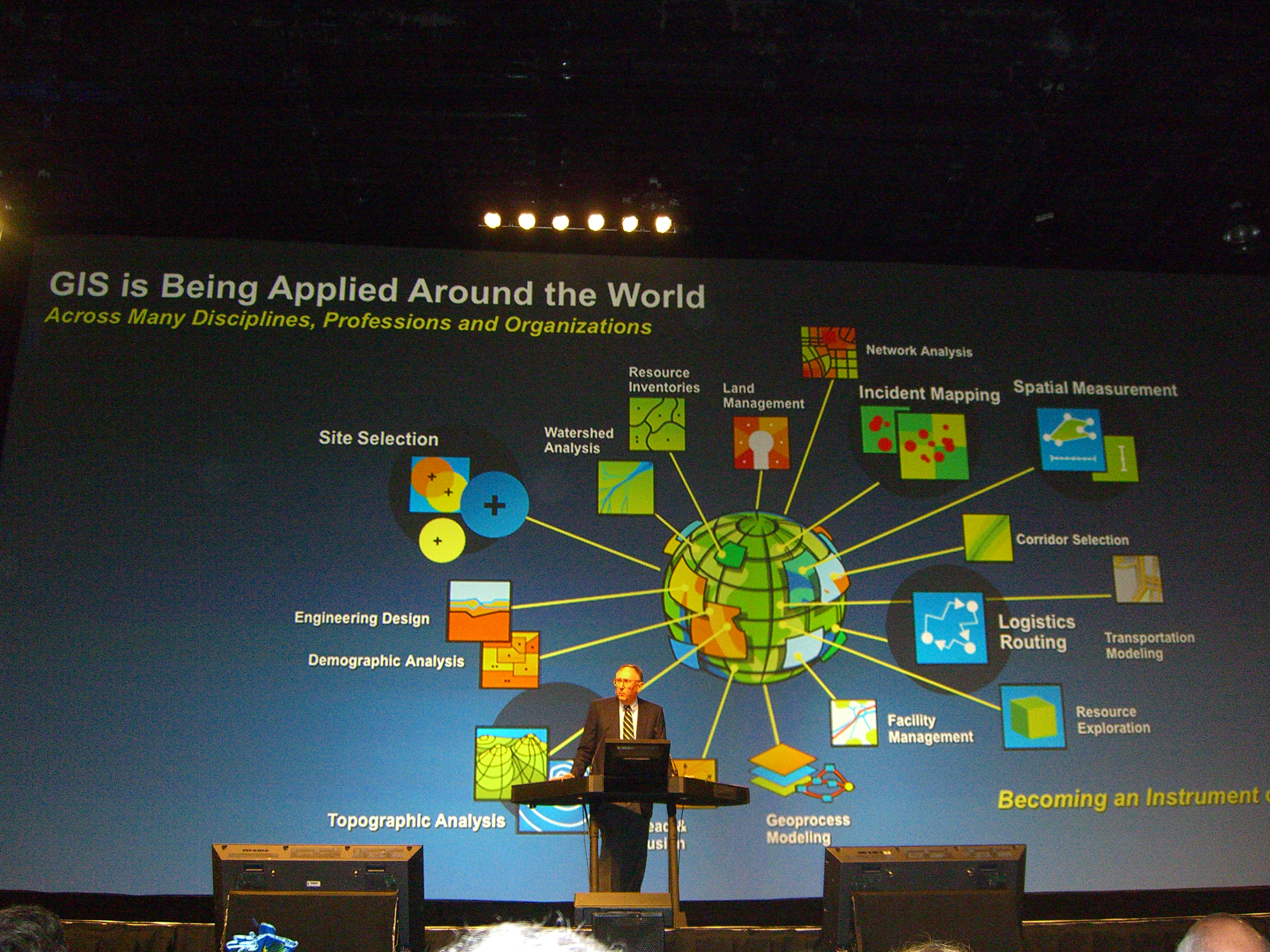
Jack Dangermond giving his keynote at the
ESRI User Conference |
President Stig Enemark was invited to attend the
Survey&Engineering GIS Summit, San
Diego, USA, 16-19 June 2007 as keynote speaker. The Summit was held in
conjunction
with the 27th Annual ESRI International User Conference that attracted more
about 15.000
visitors from throughout the world.
The Summit was the 5th of its kind where surveyors come together to discuss,
share, and
learn about applications of GIS to land surveying. This particular
conference was for the
time expanded to include engineering. The Summit attracted around 400
participants from
22 countries but mainly from the US Surveying and Engineering profession.
The Summit
included more than forty sessions dealing with a range of surveying topics
and provided the
opportunity to learn about using GIS for managing operations and products
and services to
clients. Proceedings are available at
http://gis.esri.com/library/userconf/survey07/index.html.
President Enemark also gave a keynote address at the ESRI Education User
Conference
that was held in parallel to the Survey Summit. Another keynote address was
presented by
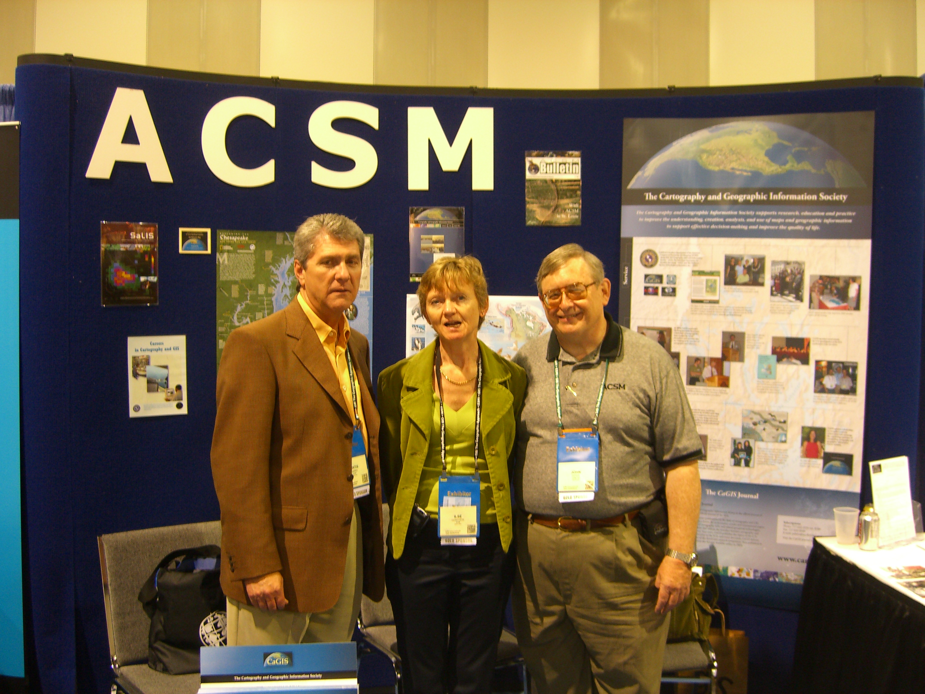
Curt Summer, Secretary General of ACSM. Proceedings from this
Conference is available
http://gis.esri.com/library/userconf/educ07/index.html
Most participants of the Survey&Engineering Summit also attended the
following ESRI
International User Conference. The highlights were the opening session with
a keynote
presentation from Jack Dangermond, president of ESRI, showing how GIS
has a profound
effect on our society through the use to design and manage our resources and
help improve
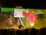
our world. Another keynote was presented by Professor Wangari Maathai,
Nobel Prize
Winner and Founder of the Green Belt Movement, and internationally
recognized for her
persistent struggle for democracy, human rights, and environmental
protection. This
powerful keynote showed how making the world a better place can start with
just one
person, one idea, and the will to transform this idea into a solution. The
mission of the
Green Belt Movement, founded 1977 in Kenya, is to help communities to
worldwide to
protect the environment and promote good governance and cultures of peace.
As a result
more than 40 million trees have been planted across Africa that have
improved the
environment and living conditions for hundreds of thousand of people.
The User Conference included about 300 technical sessions with around 1000
presentations. In addition a huge exhibition offered variety of GIS
solutions and services. A
highlight at the exhibition was a presentation of the NILS project (the
National Integrated
Land System) developed by the US Bureau of Land Management that provides a
parcel
based information system for management state land and their natural
resources. Another
highlight was the Map Gallery exhibition where users from throughout the
world display
their techniques of GIS solutions and creative mapmaking. Proceedings of the
User
Conference is available at
http://gis.esri.com/library/userconf/proc07/index.html.
•
Stig Enemark´s keynote presentation at the Survey&Engineering Summit: “The
Changing Role of Surveyors in Support of the Global Agenda”
•
Stig Enemark´s keynote presentation at the ESRI Education User Conference:
“The
Surveying Curriculum of the Future”. |