The 3rd Survey and GIS Summit and the 25th ESRI User
Conference
San Diego, CA, USA, 22-29 July 2005
|
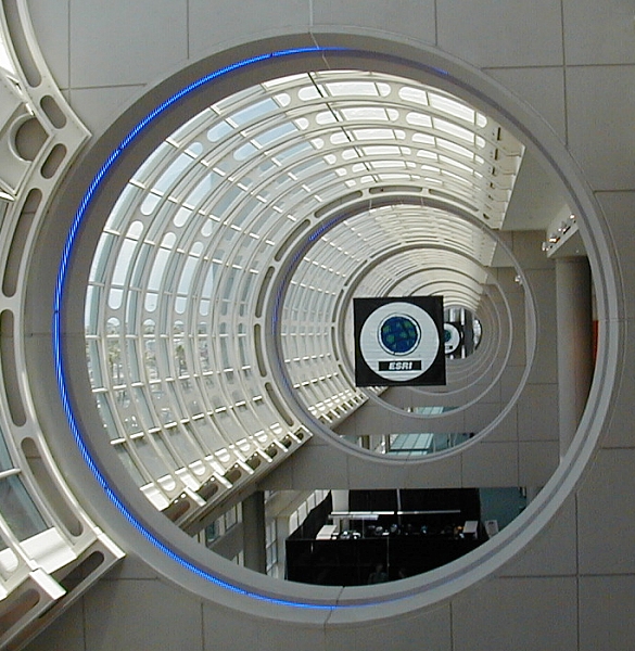
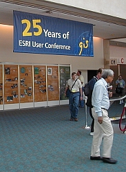
The huge San Diego Conference Centre was filled up with the 25th ESRI
User Conference and its exhibition. |

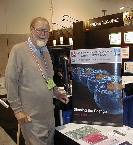
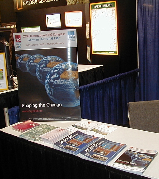
Roger Tomlinson, "inventor of GIS" at the FIG booth studying FIG
2006 in Munich.
|
The 25th ESRI User Conference was organised at the San Diego Conference
Centre 25-29 July 2005. The 3rd Survey and GIS Summit was linked to the User
Conference taking place 22-26 July at the same venue. FIG participated the
Survey and GIS Summit for the 3rd time as a gold sponsor and attended also
the exhibition at the User Conference sharing an exhibition booth with the
American Congress on Surveying and Mapping (ACSM).
The ESRI User Conference was attended by more than 14,000 participants,
highest number ever, from 126 countries. The programme consisted of grand
opening and plenary session “New start time GIS – Helping Manage Our
World" – also the them of this year’s conference, which offered a
keynote presentation of Mr. Jack Dangermond, President and Founder of
ESRI and presentations of latest projects in the use of GIS and developments
of the ESRI software. The keynote speech was given by Dr. Jane Goodall,
DBE, Jane Goodall Institute, who is world famous for her researches with the
chimpanzees. The conference included numerous technical workshops, paper
sessions and panel discussion both on the technology and on policy issues.
The technical exhibition offered a good presentation of software solutions,
technology and activities from ESRI partners and users. The traditional map
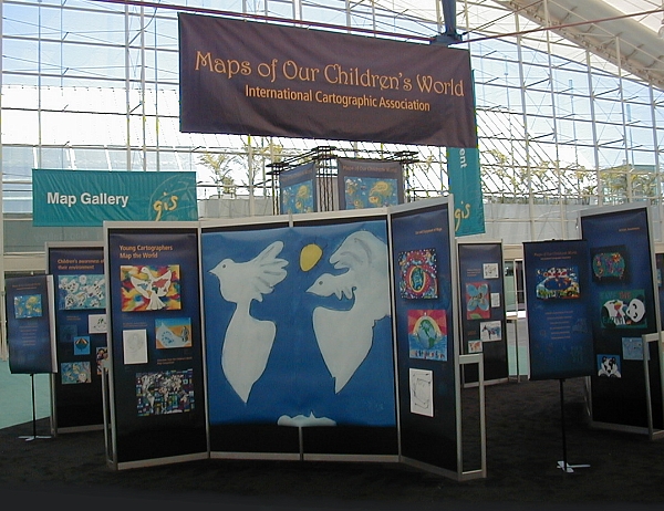
gallery included a large display of GIS projects.
Survey and GIS Summit 2005 Bridging the Gap gathered more than 300
participants to discuss how to improve the co-operation and bridging the gap
between surveying and GIS. Sub-theme of the Survey Summit was “It’s All
about the Data”. Keynote presentations were given by Mike Weir,
Surveying Industry Manager, ESRI, Jim Hart, HES/Samco – A Vision on
Integrated GIS and Gary R. Kent, The Schneider Corporation.
|
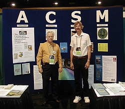
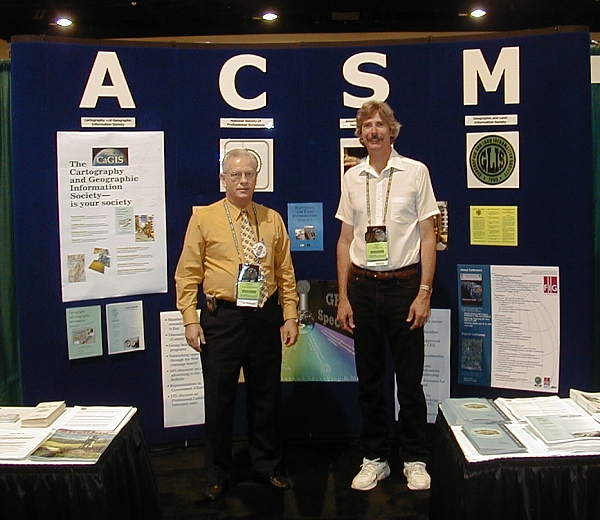
Ronnie Taylor and Gary Kent at the ACSM/FIG booth in the
exhibition. |
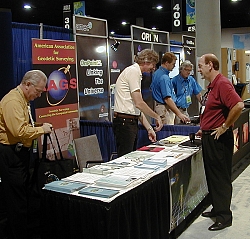
Mike Weir from ESRI at the ACSM/FIG booth. |
 |
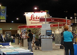
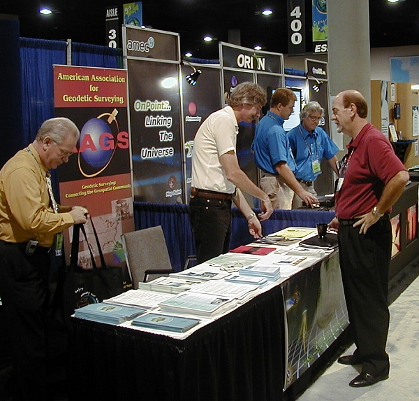
The exhibition took most of the exhibition halls at the conference
centre, giving an overview of the latest technology and software
development. |
 |
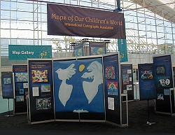
Children's maps provided by ICA at the Map Gallery. |
|