
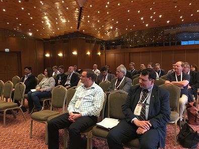
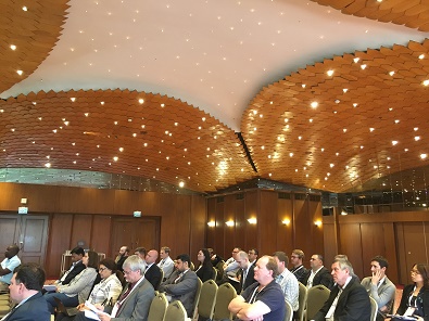
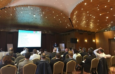
The technical seminar aimed at surveyors, spatial professionals, students and operational geodesists who are interested in learning more about practical aspects of reference frames from some of the world’s leading geodesists and geodetic surveyors. As well as covering reference frame basics, the two-day seminar focused particularly on dealing with deformation and datum unification.
PROCEEDINGS |
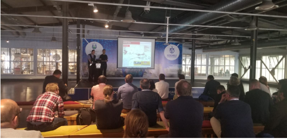
PHOTO GALLERY |
SPONSORS |
REPORT |
PROCEEDINGSFriday 4 May 2018 |
|
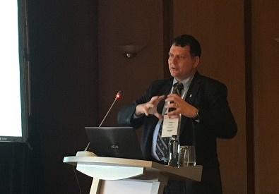
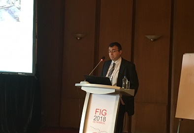
08:30 – 09:00 Welcome and Opening Remarks Prof. Dr. Muzaffer Kahveci (Convenor) |
|
09:00 – 10:00 Session 1: Introduction to 3D/Vertical Reference Frames |
|
10:00 – 10:30 Morning Tea |
|
10:30 – 11:30 Session 2: Kinematic Frames and Deformation Modelling |
|
11:30 – 12:30 Lunch |
|
12:30 – 13:30 Session 3: Dynamic Datum and Modelling of Crustal Deformation
|
|
13:30 – 14:30 Session 4: Case Studies 1 |
|
14:30 – 15:00 Afternoon Tea |
|
15:00 – 16:00 Session 5: Case Studies 2
|
|
16:00 – 17:30 Session 6: 3D & Vertical Control Network and Earthquakes in Turkey
|
|
17:30 – 19:00 Session 7: International Geodesy Initiatives and Geodetic Infrastructur |
|
19:30 Seminar Dinner |
Saturday 5 May 2018 |
|
09:00 – 10:00 Session 8: GNSS and Geodetic Software
|
|
10:00 – 10:30 Morning Tea |
|
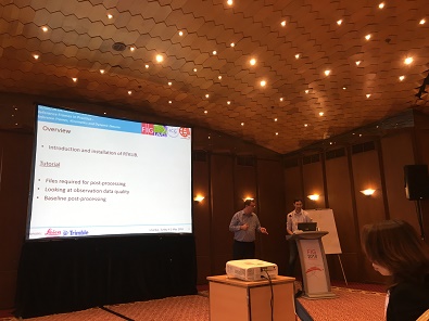
10:30 – 11:30 Software Demonstration Mr. Ryan Ruddick, Geoscience Australia, Dr. Suelynn Choy, RMIT University, Mr. Nic Donnelly, Land Information New Zealand |
|
11:30 Closing Remarks – FIG Commission 5, IAG |
|
12:00 – 12:30 Lunch (Lunch Box) |
|
Afternoon: Technical Tour in North Anatolian Fault Zone
*Transfers will be done with Midibusses. |
The organisers FIG, IAG, UN ICG and HKMO would like to thank and acknowledge the following sponsors for their generous support of this event.


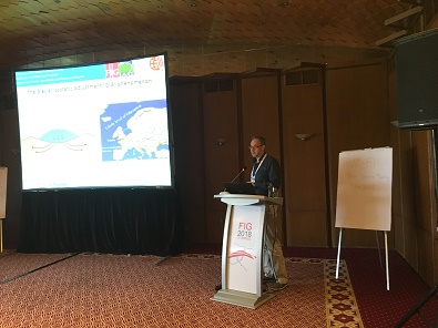
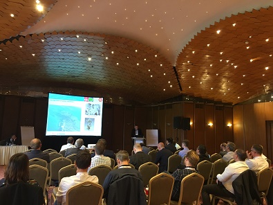
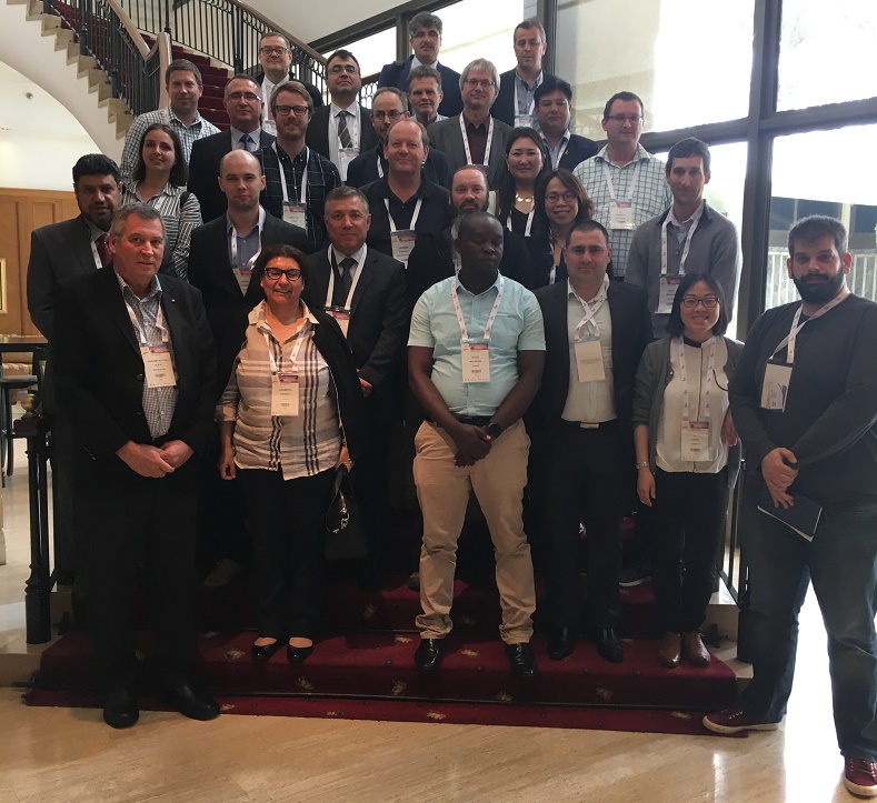 Group photo |
|
 |
 |
 |
 |
 |
|
 |
 |
 |
 |
 |
 |
 |
 |
 |
|
 |
 |
 |
 |
 |
 |
 |
 |
Technical tour |
|
 |
|
 |
|
 |
|

 #FIG2018 |